TOPO Map Model
School: Sierra Expeditionary Learning School
City/State: Truckee, CA
Grade(s): 6, 7, 8
Format(s): Model: General
Subject(s): Science and Technology
Project Overview
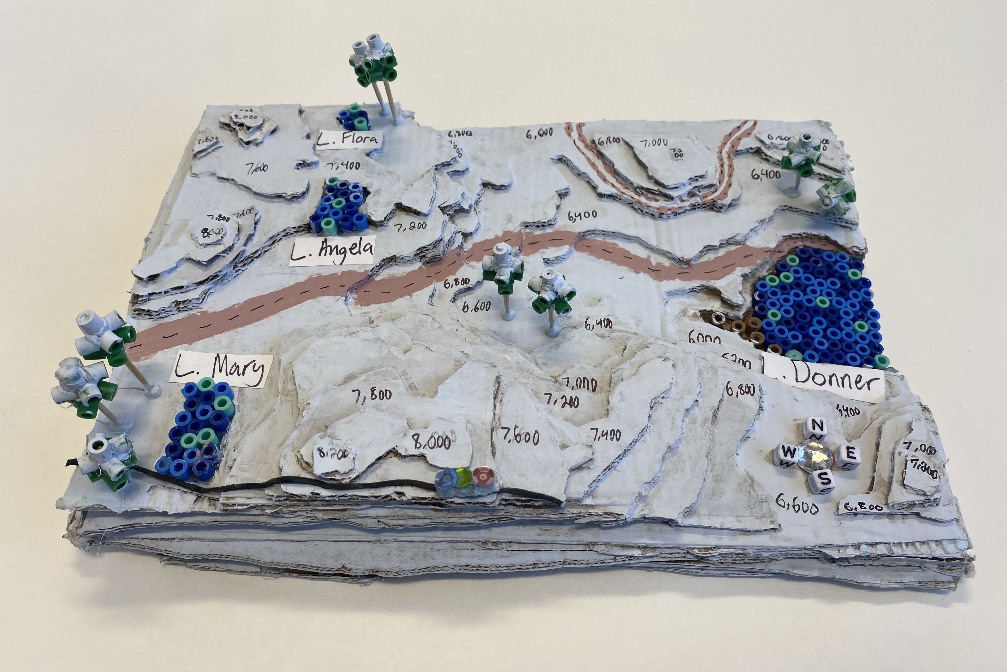
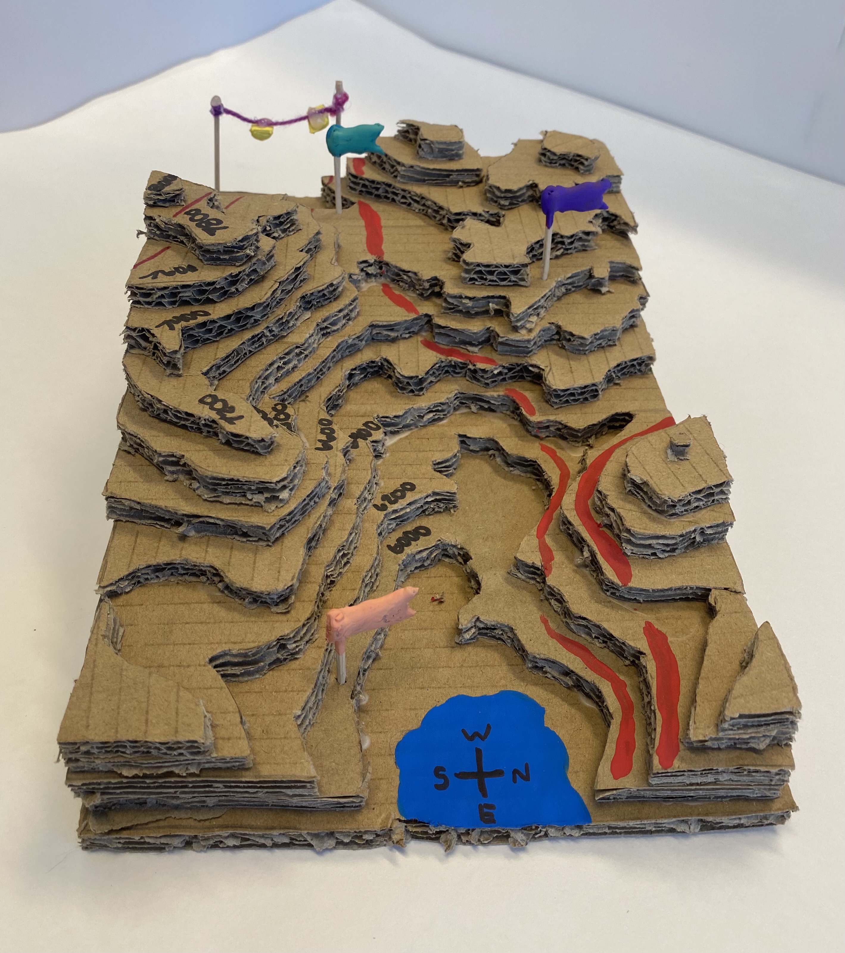
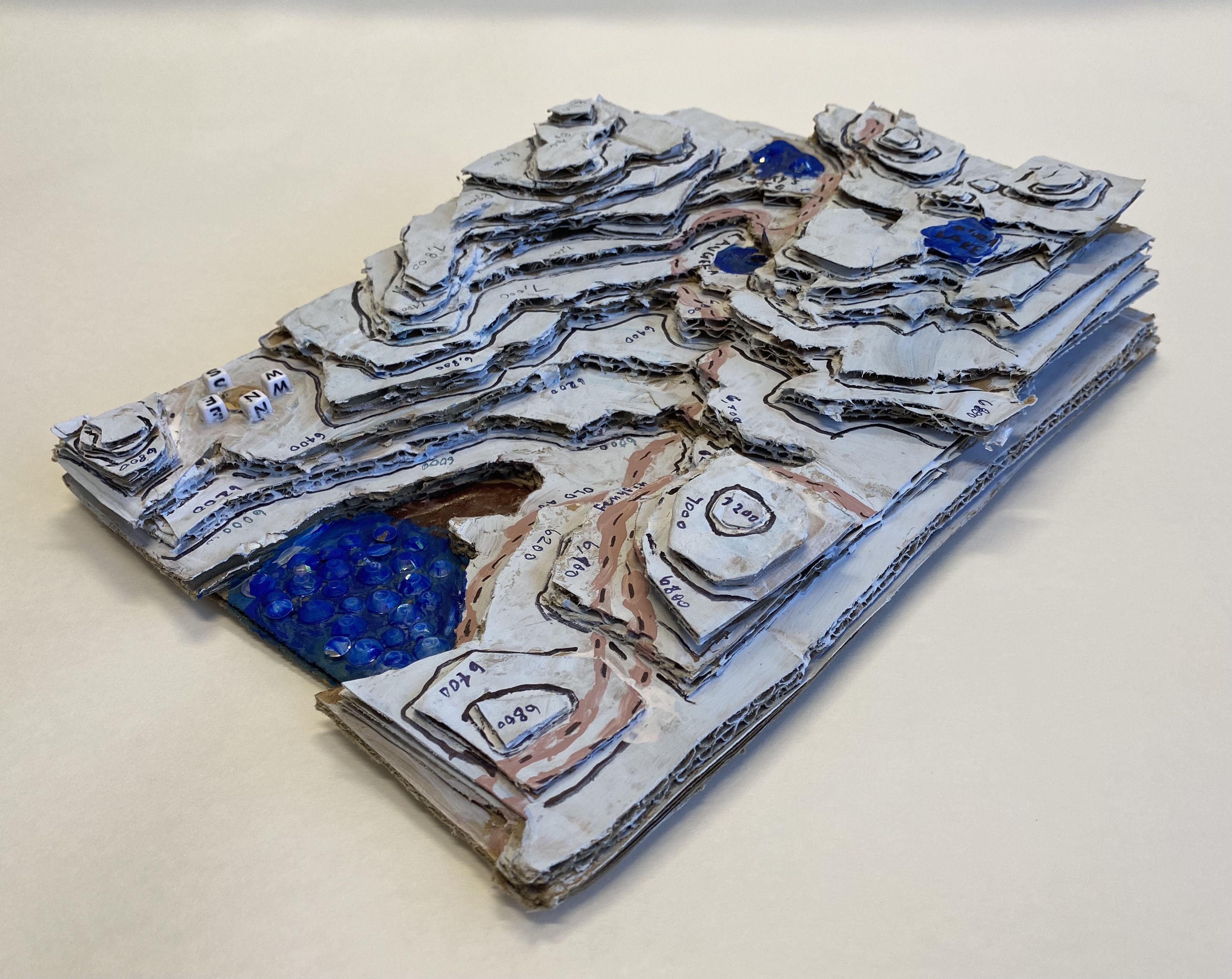
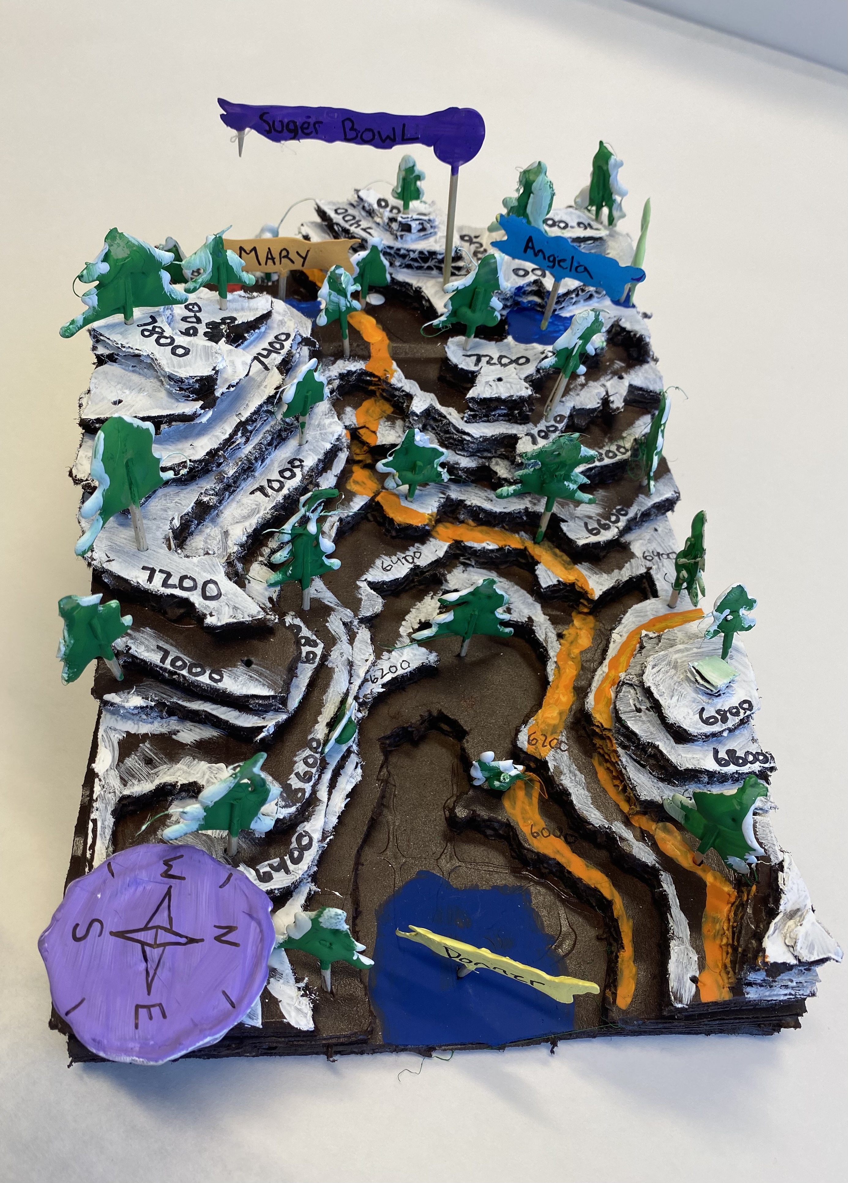
This is a project that is part of our Cartographers case study. Prior to this project, students looked at the development of maps as technology improved and as more of the world was known to cartographers. We have learned how to use modern maps and compasses to find directions and navigate. Now, in our mountainous region, we use this project to investigate how we relate a 2-dimensional image to a 3-dimensional world. Students use a topographical map to create a scaled model of familiar landscapes. It is fun to see the student begin to recognize places where they have been on fieldwork in prior grades or out hiking with their families. We use cardboard, cut out with exacto knives for the basic materials. During COVID I had everyone work with the same map, however, when we are in class, I give all the students maps that will fit together to make one big model. It is great to use as a self-evaluation tool for the students to see where it doesn’t quite fit and needs to be revised. \